

Digital Land Survey
Digital Land Survey
Know the actual dimensions and shape of your land before designing your home. Our survey team visits your location and uses Total Station equipment to collect the site measurements needed for informed architectural planning.
Starting from BDT 5,000 · No Advance Payment · On-Site Survey Team
Dhaka & Jashore Offices • Project-Based Digital Survey
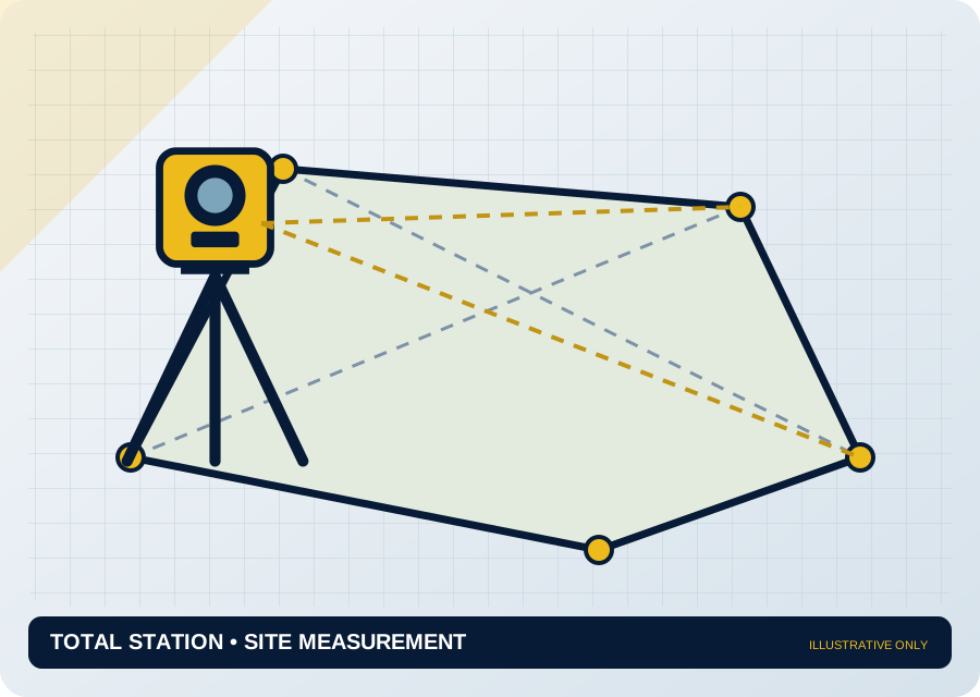
SEC / Digital land survey • Illustrative site plan, not a legal boundary record
Measure first. Plan with confidence.
We collect the field measurements needed for your project. The information required depends on the type of land and the purpose of the survey, which we agree during our initial discussion.

Plot Measurement & Dimensions
Collect digital field data on the length, width, angles, shape and measurable area of your plot.

Boundary & Corner Points
Measure identifiable boundaries and corner points on site. Coordination with deeds or mouza records may be arranged separately if required.

Total Station Field Survey
Use Total Station equipment to measure distances and angles and record relevant field points.

Site Features & Access
Record visible roads, structures, drains and other important features within or around the plot.

Levels & Site Conditions
Collect level differences, slopes or other topographic information when required by the agreed project scope.

Digital Survey Drawing
Process the field data to prepare a site measurement or survey drawing according to the agreed deliverables.
The right survey for your land.
A regular residential plot, an irregular site and a large development may require different survey drawings. We agree the scope and deliverables before work begins.
From field measurements to a clearer plan.
Explore how site measurements, Total Station fieldwork and digital survey drawings support well-informed building design.
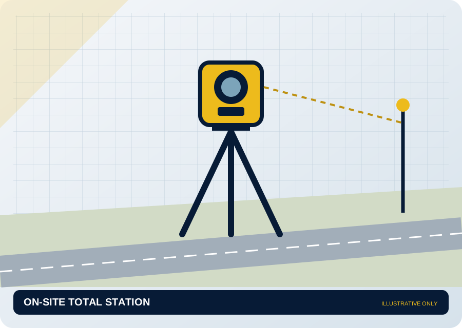
Total Station Field Survey

Plot Measurement & Mapping
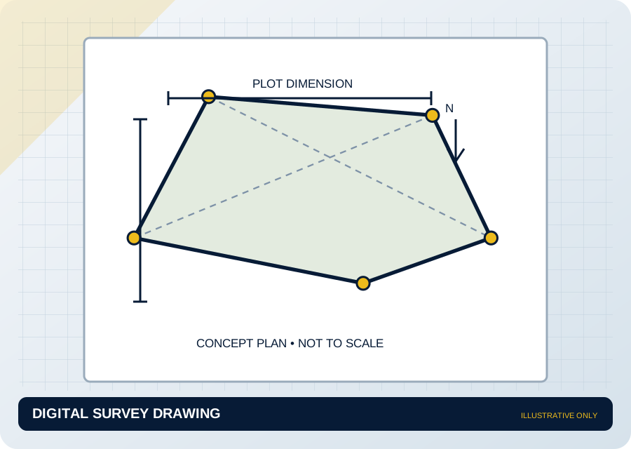
Digital Survey Drawing
Illustrative survey visuals, not actual SEC site photographs or legal survey records. Replace these with your own field photographs or drawings.
How our digital survey works.
From confirming your land details to completing the field survey and payment, the process is clear and straightforward.
Share Land Details
Tell us the district, upazila or area, approximate plot size and purpose of the survey.
Confirm Scope & Schedule
We review the location and land information, agree the scope and charge, and confirm the visit schedule.
On-Site Digital Survey
Our survey team visits your location at the agreed time and collects the necessary measurements using Total Station equipment.
Check Work, Then Pay
After the fieldwork is complete, review and understand the measurement work before paying the agreed charge. Final drawings are handed over according to the agreed terms.
Better measurements. Better design decisions.
Accurate survey data helps architects and engineers plan around the actual shape, dimensions, angles and access of a plot, particularly when the land is irregular. This can help reduce the need for later layout changes.
Dimensions, Angles & Points
Field measurements give a clearer understanding of plot dimensions, shape and identifiable corner points.
Digital Plan for Design
Site drawings provide usable data for architectural floor planning, including access, roads and relevant surrounding features.

Practical Planning Benefits
- Understand the actual plot shape and dimensions
- Plan around irregular geometry and access
- Obtain digital measurement drawings within the agreed scope
Digital measurement and mapping do not establish legal ownership or officially settle boundary disputes. Those matters require separate processes.
From BDT 5,000
The final charge depends on plot area, location, travel distance, site complexity, measurement requirements and drawing scope. We will confirm an individual quotation before the survey.
Survey first. Pay afterwards.
- Confirm the scope, charge and schedule in advance.
- Our team visits your location and completes the agreed field survey.
- Review the work, then pay the agreed amount.
No advance payment is required before the site survey. Final drawings or soft copies are handed over according to the terms agreed beforehand.
Start with a few land details.
Share the basic details of your land so our team can discuss the suitable survey scope, schedule and charge.
What to share with our team.
- District, upazila or area and complete land location
- Approximate plot area (shotok, katha, decimal or other units)
- Regular or irregular plot shape, if known
- Survey purpose: house floor plan, site drawing or other
- Google Maps location and site contact number
- Relevant portions of mouza map or land deed, if available and needed
Share these details via WhatsApp or call us directly to discuss your survey.
Frequently Asked Questions
Clear answers to common questions about digital land measurement, pricing, payment and survey deliverables.
What is a Digital Land Survey?
A digital land survey uses modern equipment such as a Total Station to measure land dimensions, angles, shape, relevant positions and other site data. A digital survey drawing can then be prepared according to the needs of your project.
How much does a digital land survey cost?
Our service starts at BDT 5,000. We confirm a specific quotation based on plot size, location, travel, site complexity and the drawings or data required.
Do I need to make an advance payment before the survey?
No. We first agree the location, scope and charge. After our team completes the field survey, you can review and understand the work and pay the agreed amount.
Will your team visit my land in person?
Yes. Our survey team visits your specified location. We confirm the address, site contact, proposed date and scope before the visit.
Why is a digital survey important before preparing a house floor plan?
Knowing the actual dimensions, shape, angles and access of the plot helps the architect plan a more realistic floor plan. Survey data is particularly useful for irregularly shaped plots.
What report or drawing will I receive after the survey?
Depending on the agreed scope, you will receive plot dimensions, area, corner or feature data and an applicable digital survey or site layout drawing. Let us know before work starts if you need soft copies, printed drawings or level data.
Does a Digital Land Survey establish legal ownership or official boundaries?
No. It is a physical measurement and digital mapping service. Ownership verification, legal decisions concerning land or mouza records, dispute resolution and official boundary determination are separate processes. Tell us in advance if such assistance is needed.
What information should I provide for the survey?
Share the district, upazila or area, Google Maps location if possible, approximate land area, site contact number and purpose of the survey. Relevant deeds or mouza maps may be provided when needed.
Build your vision with confidence.
Talk to our engineering team about your land, design and project requirements. We will help you plan the right next steps.
